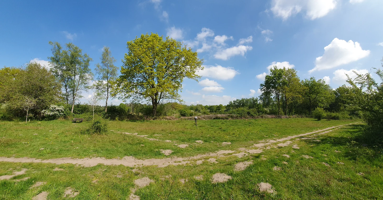
Sand in the south, peat and polder in the north and west, and the junction network in between.
How do you get from Waalwijk into the Loonse en Drunense Duinen?
The dunes start practically at the edge of town. According to the municipality, the Hoefsven recreation area, known locally as 't Lido, lies on the edge of Waalwijk right up against the Loonse en Drunense Duinen1. The town centre management also describes the dunes as "a stone's throw away"10.
The national park is known as the Brabant Sahara. Natuurmonumenten manages it and reports that 270 hectares of drifting sand remain, where you are free to roam3. The municipality and Bezoek de Langstraat compare the size of the whole area to about 7,000 football pitches16. On the sand plain, the difference between day and night temperatures can reach 50 degrees Celsius, which produces a flora and fauna all of its own3.
For wheelchair users, a paved path runs from Bosch en Duin to a viewpoint over the sand plain3. Mountain bikers will find waymarked routes, including a 17-kilometre green MTB route7.
Where can you walk in the Westelijke Langstraat?
The Westelijke Langstraat lies between Waalwijk and Waspik. It was once a vast fen; today you see a strip-field landscape of long, narrow plots, ditches and rows of alder4. The area is protected as Natura 2000 and still has a working duck decoy1.
The water that wells up from the ground here is clean and rich in minerals. In spring you will see marsh marigold and water violet in flower, with storks and lapwings flying over4. If you want peace and quiet rather than sand, this is your area.
Which other nature areas lie in the municipality of Waalwijk?
On its nature page, the municipality lists three more areas that are easy to combine1.
- Baardwijkse Overlaat, between Drunen and Waalwijk. Open countryside with overgrown dykes, a nature reserve and a canal.
- Natuurpark De Vest(e), south of the old Langstraat railway line. Part of the Zuiderwaterlinie (Southern Water Line) once ran here.
- Overdiepse Polder, between the Bergsche Maas and the Oude Maas. Thanks to the mound plan, more than four million people upstream keep their feet dry and farmers can carry on living and working there.
Closer to home lies Het Hoefsven ('t Lido), with a deer park, a playground, a rowing pond and woodland. There is more about it on the page about Waalwijk with kids.
How do you cycle around Waalwijk with the junction network?
The cycle junction network is the easiest way to put together your own route. The municipality refers to it on its routes page2.
Prefer a ready-made route? Bezoek de Langstraat describes dozens of them. Below is a selection of routes with Waalwijk as their starting point or theme78.
| Route | Type | Distance |
|---|---|---|
| Leerroute Waalwijk, Made in Brabant (leather route) | Cycling | 30 km |
| Bevrijdingsroute Schotse Highlanders Waalwijk (liberation route of the Scottish Highlanders) | Cycling | 35 km |
| Fietsen door de Brabantse Sahara (cycling through the Brabant Sahara) | Cycling | 48 km |
| Spreekwoordenroute Waalwijk (proverbs route) | Walking | 3 km |
The municipality itself offers, among others, a town walk, the Wet Blue route, the Fiets & Leder route Oost (cycling and leather route east) and a cycle route along the Overdiepse Polder and the Bergsche Maas2. You can charge an e-bike at various points in the region; Bezoek de Langstraat keeps an overview.
Can you get from Waalwijk to the Biesbosch?
Yes, on a longer day trip. Nationaal Park De Biesbosch is one of the largest nature areas in the Netherlands. Within De Langstraat, Geertruidenberg is the gateway, and you will also find information about the park there6. Activities, routes and visitor centres are listed on the national park's own website5.
Frequently asked questions
Can you reach the Loonse en Drunense Duinen from Waalwijk?
Yes. According to the municipality, the Het Hoefsven recreation area, on the edge of Waalwijk, borders directly on the Loonse en Drunense Duinen. So you can walk or cycle from town into the dunes. The national park still has 270 hectares of drifting sand, where you are free to roam across the sand plain, says its manager Natuurmonumenten.
What is the Westelijke Langstraat?
The Westelijke Langstraat is a protected Natura 2000 site between Waalwijk and Waspik. It was once a fen and is now a strip-field landscape with narrow plots, ditches and rows of alder. Clean seepage water rises to the surface, which produces rich plant growth. There is even a working duck decoy, the municipality of Waalwijk reports.
Where can you get a cycle junction map in Waalwijk?
You can also use the junction network online to plan your own route, which the municipality refers to on its routes page.
Sources
- Gemeente Waalwijk, Natuur (nature) (accessed 16 October 2026), www.waalwijk.nl/recreatienatuur
- Gemeente Waalwijk, Routes, www.waalwijk.nl/routes
- Natuurmonumenten, Loonse en Drunense Duinen, www.natuurmonumenten.nl/natuurgebieden/loonse-en-drunense-duinen
- Staatsbosbeheer, Langstraat, www.staatsbosbeheer.nl/uit-in-de-natuur/locaties/langstraat
- Nationaal Park De Biesbosch, np-debiesbosch.nl
- Bezoek de Langstraat, De natuur in (into nature) (secondary), www.bezoekdelangstraat.nl/ontdekken/natuur
- Bezoek de Langstraat, Fietsen (cycling) (secondary), www.bezoekdelangstraat.nl/actief-zijn/fietsen-en-moutainbiken
- Bezoek de Langstraat, Wandelen (walking) (secondary), www.bezoekdelangstraat.nl/actief-zijn/wandelen
- Bezoek de Langstraat, Bereikbaarheid en parkeren (access and parking) (secondary), www.bezoekdelangstraat.nl/praktische-info/bereikbaarheid-parkeren
- Welkom in Wolluk, Omgeving (surroundings), welkominwolluk.nl/omgeving
Last updated: